
Hiking is a passion. I’ve always been an outdoors person (it’s hard not to be with open fields next to my childhood home and siblings and cousins to adventure with), but I started hiking as a Girl Guide in Barbados when I was 11 or 12 years old and I’ve been hiking ever since.

Now, in addition to hiking locally, and hiking trips with my friends, I try to hike or walk wherever I travel. There are probably many excellent trail systems across the US and around the world, but this post is about the trail system in Santa Clarita (Awesome Town, according to Jennetta) where I hike/walk most often.
The City of Santa Clarita incorporated in 1987 with 39 square miles comprising Canyon Country, Saugus, Newhall and Valencia. At its current 60 square miles (more than 30 neighbourhoods annexed SC since 1987), it is the third largest city in Los Angeles County (santa-clarita.com). One of the things I love about the city is the offerings of its Recreation and Community Services department, particularly its open space, parks and trails (also summer concerts in Central Park, but this is a post about hiking 😊). Santa Clarita’s Open Space Preservation District is “designed to expand the City’s existing Open Space, Park and Parkland Program in order to preserve natural land from development, create more parks for community usage, and protect rare biological and geological regions” (santa-clarita.com).
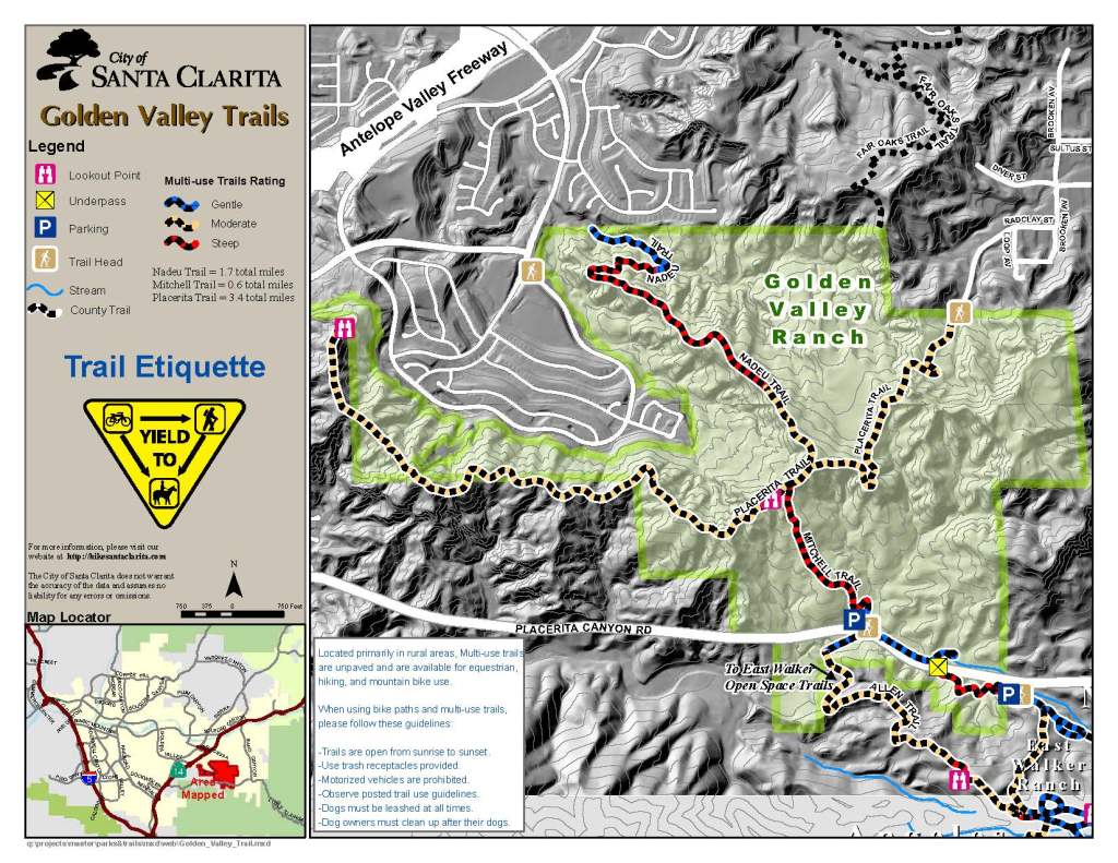
Santa Clarita has over 80 miles of trail (a point that I’ve mentioned in a few previous posts) and there are plans to keep adding to the open space and parks and expanding the trail system. The trails range from paved bike paths to unpaved multi-purpose trails; from trails in residential areas, to those in more remote areas; from flat easy trails like the one I hiked in San Francisquito Open Space for my birthday, to ‘The Beast’, a mostly uphill trail in Elsmere Canyon Open Space that I hiked on old year’s day last year. ‘The Beast’ was my 77th hike in a year of intense hiking.
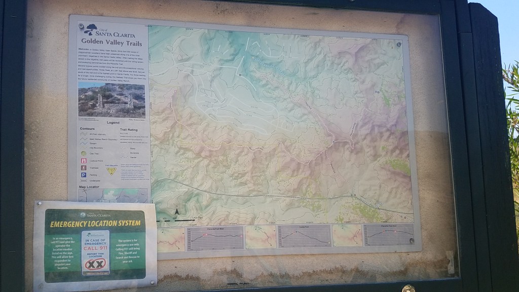
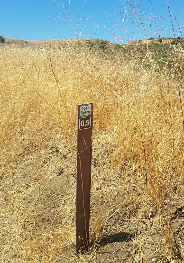
I love that Santa Clarita has not only mapped the trail system, but has a dedicated website (hikesantaclarita.com) and provides trail maps online. It also has an app that complements the website. I’ve probably hiked 40 percent of the 80 miles of trails; some trails or parts of trails, I’ve hiked more than once. At every trailhead I’ve seen large signs with trail names, emergency information, and trail use information. Most also have trail maps. Markers and emergency signs at various points along the trail are important features. All of the trails I’ve hiked are well-maintained by the city and volunteers.
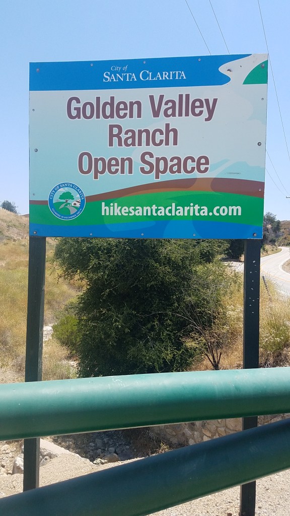
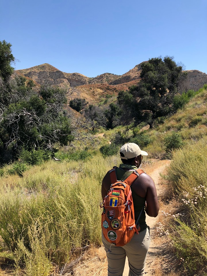
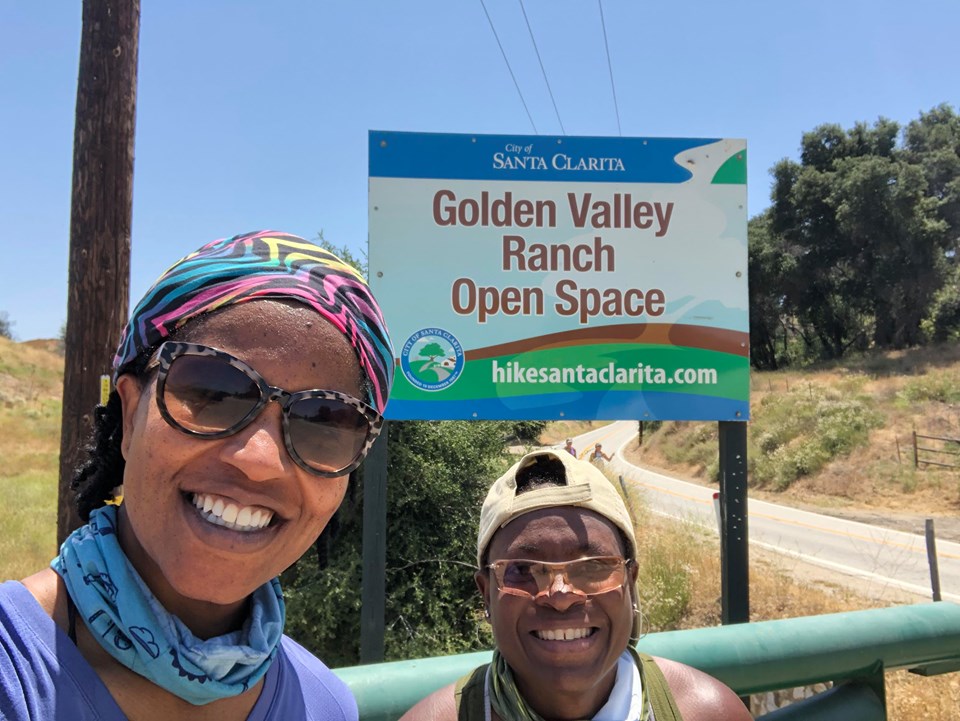
The following photos and commentary are from the hike I did this past Friday in Golden Valley Open Space. Jennetta and I hiked a short distance on an off-shoot at the beginning of Mitchell Trail (short because of a rattle snake sighting), then Mitchell Trail to Placerita Trail. I’d hiked a section of Placerita Trail on my last group hike in mid-March before COVID-19 shutdown.
As usual I name the plants that I know and those that match photos and descriptions in my plant books and online databases. However some plants are very similar and I could be getting many of them wrong. There’s a theory in Recreation called serious leisure which Stebbins (1992) defines as “the systematic pursuit of an amateur, hobbyist, or volunteer activity that is sufficiently substantial and interesting for the participant to find a career there in the acquisition and expression of its special skills and knowledge” (p. 3). I could write a book about serious leisure, but suffice it to say that I’m not yet knowledgeable enough or committed enough to the hobby to describe myself as a ‘serious leisurist’ when it comes to plants and wildflowers.
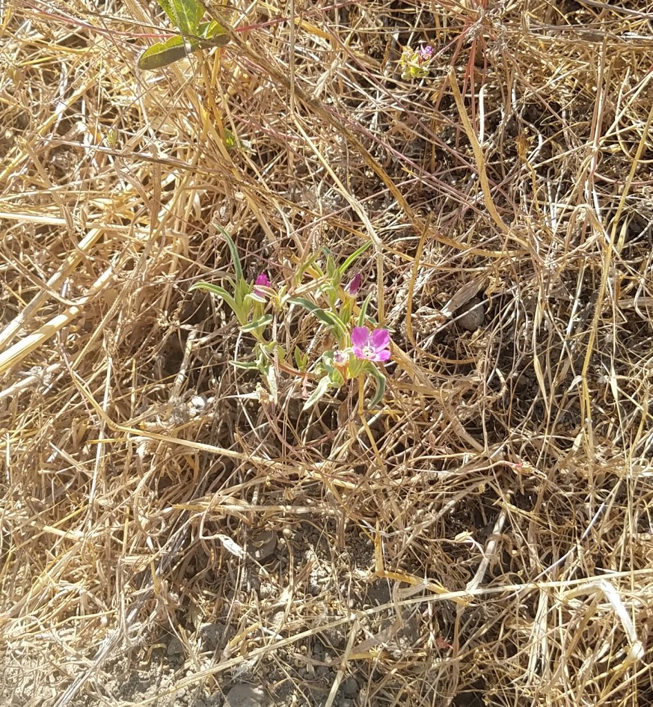
Winecup clarkia (Clarkia purpurea) 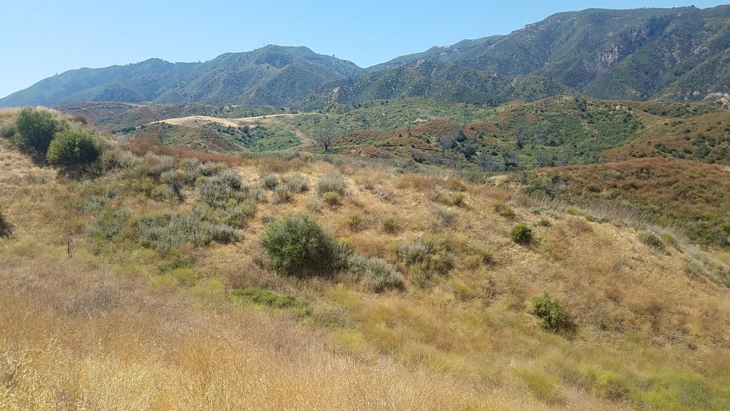
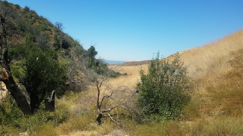
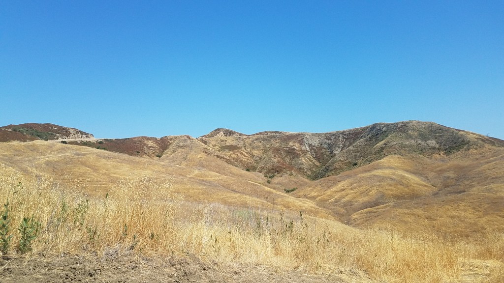
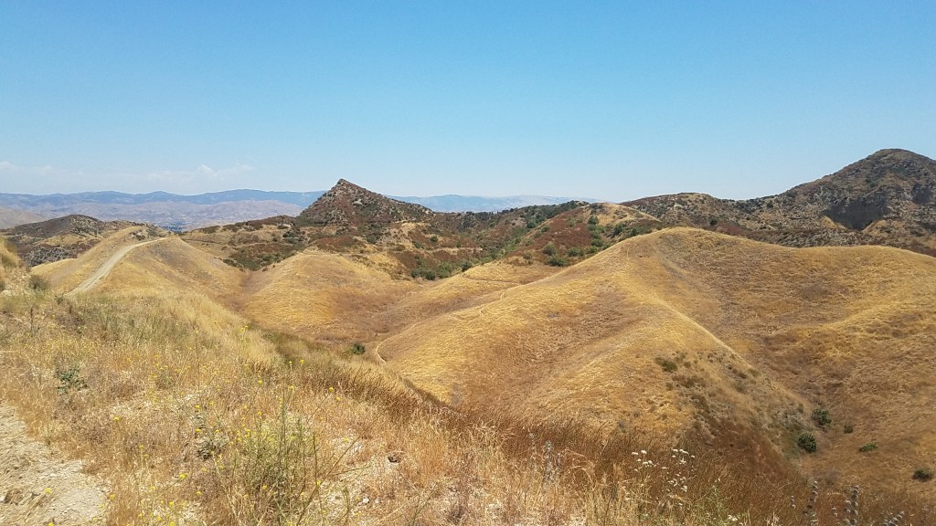
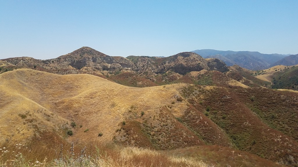
Beautiful though dry. The green-dry contrasts in this open space are amazing. 


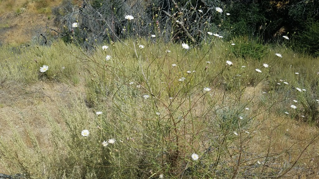
Cliff aster (Malacothrix saxatilis) 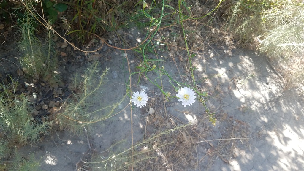
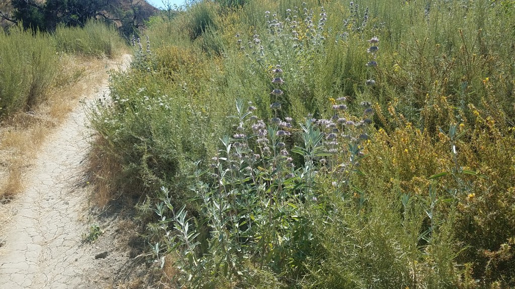
Purple sage (Salvia leucophylla) 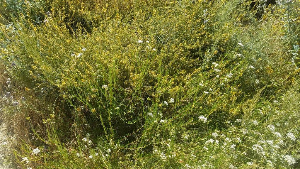
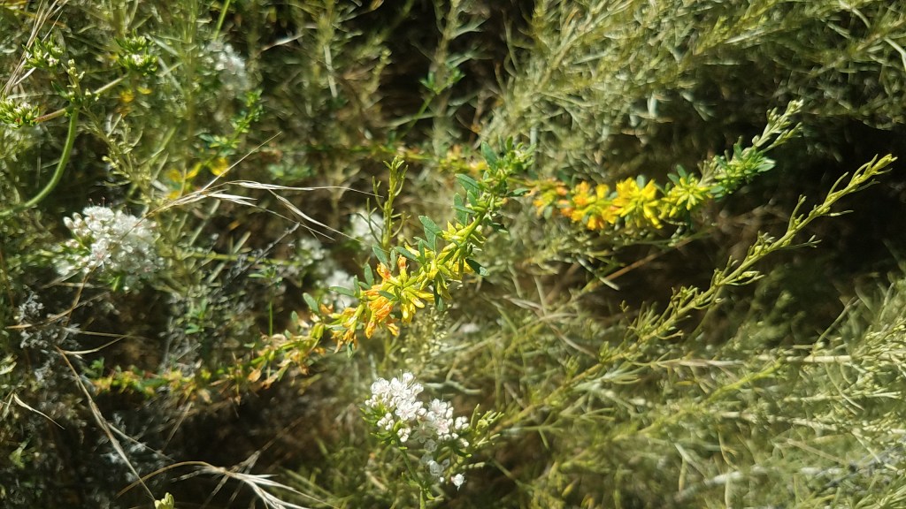
California buckwheat (Eriogonum fasciculatum) – white flowers and deer weed (Acmispon glaber) – yellow flowers 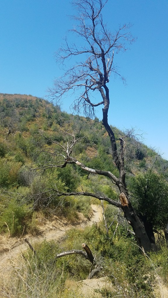
After the snake and why the off-shoot trail is now called Slither Trail
Funny story … we saw the tail end of a rattle snake. We know there are snakes in most of the areas we hike, but we don’t usually see them. Jennetta saw a small one on Taylor Trail last weekend, but this time we both saw it. We were standing on the trail chatting while I was taking photos. My back was to the hillside. We both kinda turned around at the same time and saw about a foot length of snake slithering into a hole in the hillside, at about the level of my waist (do you know how many holes we had already passed on that trail?!). We saw the rings – it was a rattler. Huh. There was no screaming. There was no running. Hmmm. We paused for a few and pondered 😆. Should we continue hiking on that trail or turn around and hike a wider trail? Remember earlier I said we hiked a short distance on an off-shoot? Well we had no desire to meet the front end of the rattle snake slithering out of the other side of the hill. The much wider Mitchell Trail was suddenly very attractive and so we only hiked about three quarters of a mile on that off-shoot, now known as Slither Trail. Our conversation quickly turned to where we could get a big walking stick for our next hike 😂.
I’m probably trying to identify the plant from memory cause I left my plant card at home … 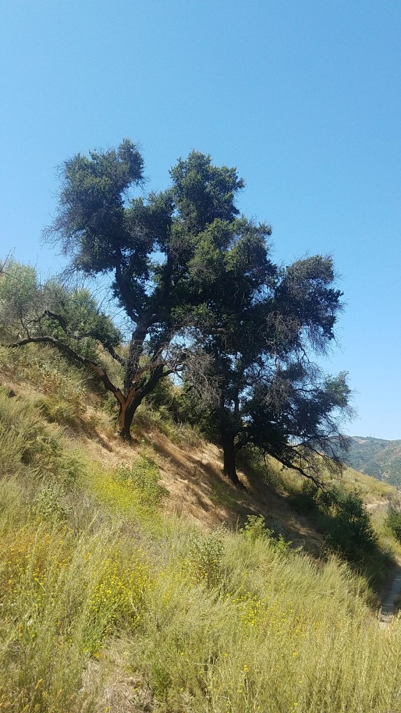

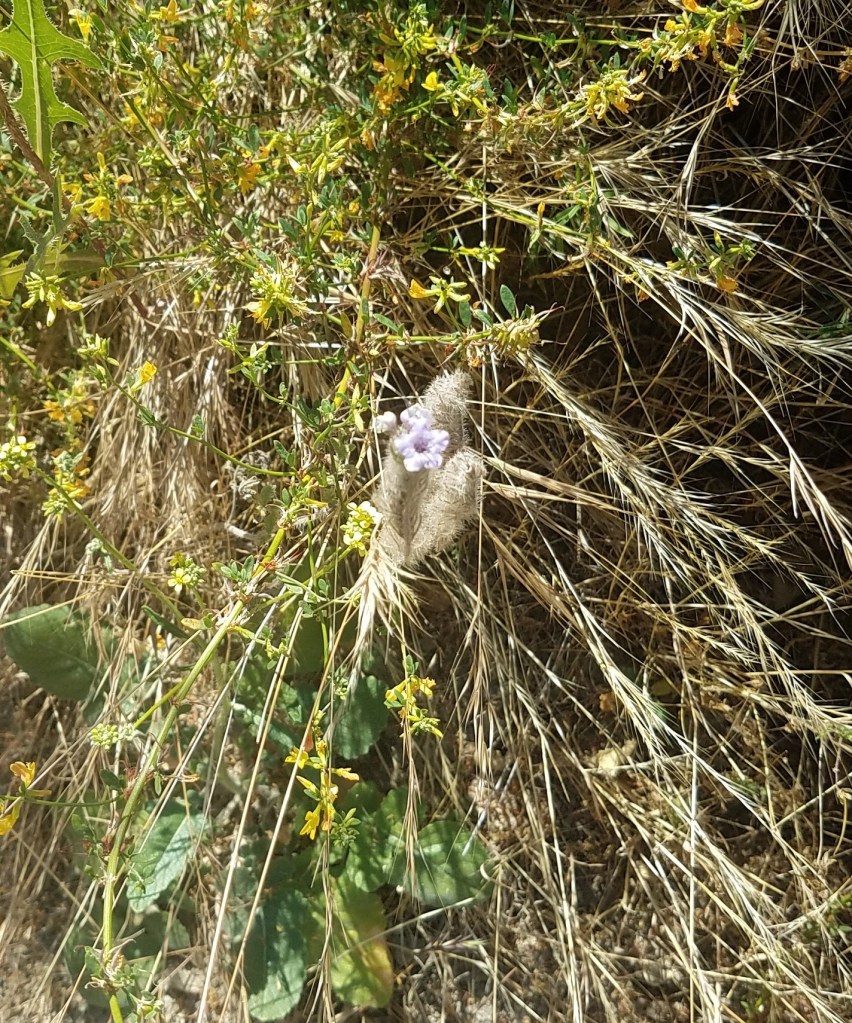
Caterpillar phacelia (Phacelia cicutaria) 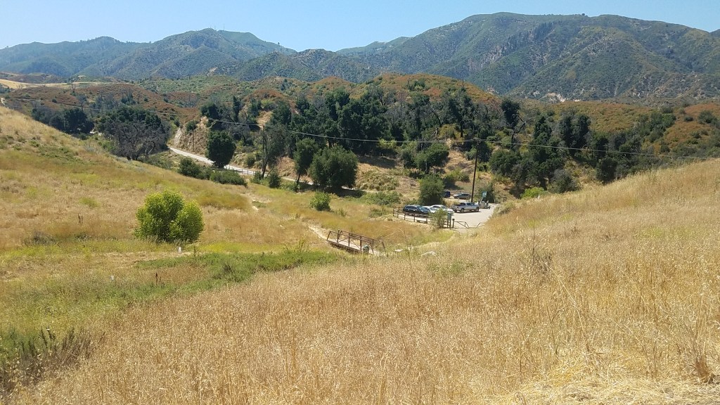

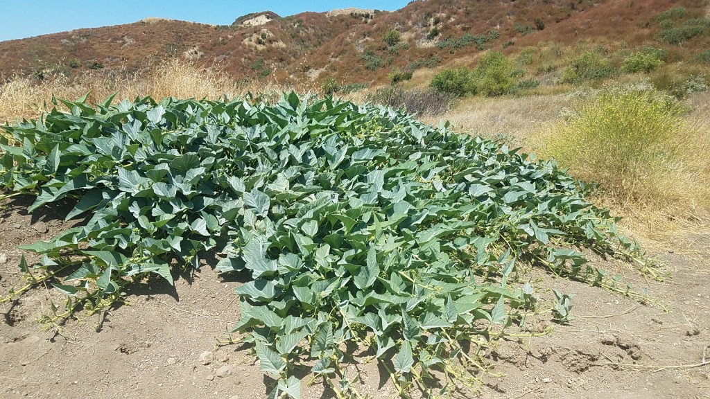
A patch of Missouri gourd (Cucurbita foetidissima) 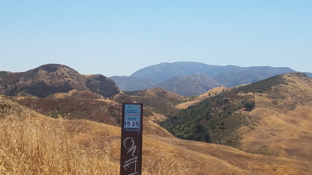
One of the emergency markers 
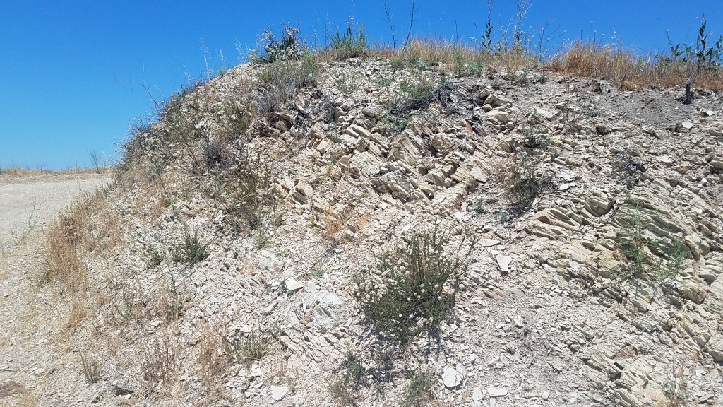
Banana yucca (Yucca baccata) at top with sky as backdrop 
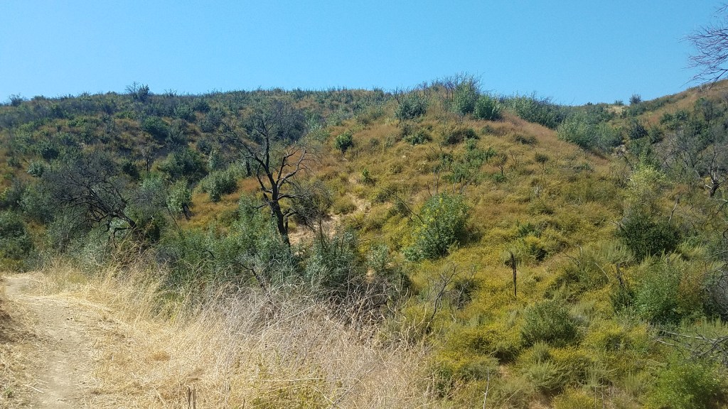
This part of Mitchell Trail is steeper that it looks. At the top it connects to Placerita Trail. 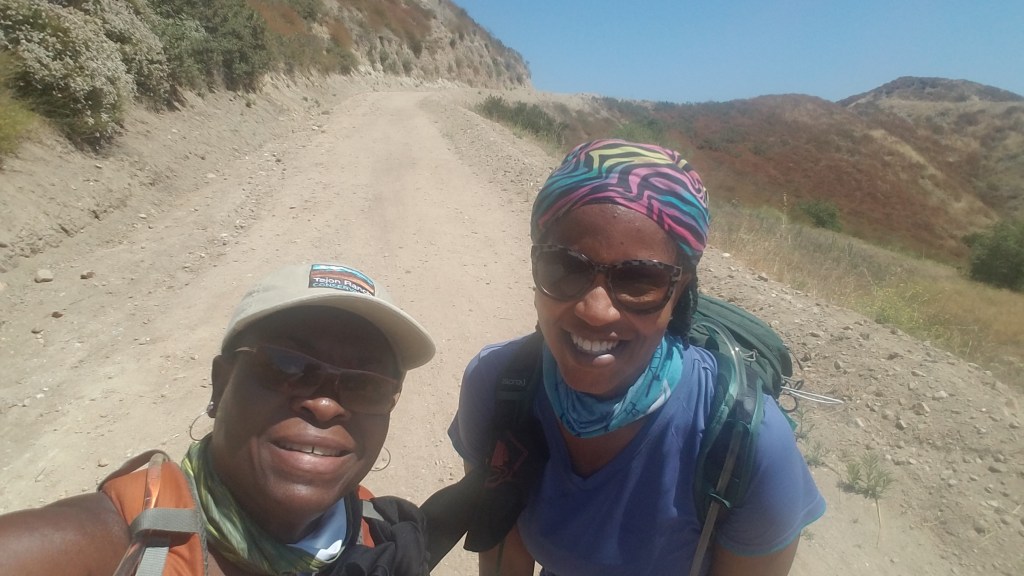
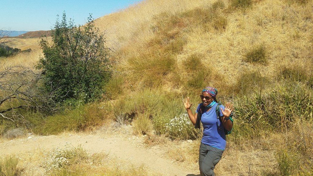
Taking a photo op (rest) before starting the climb. 
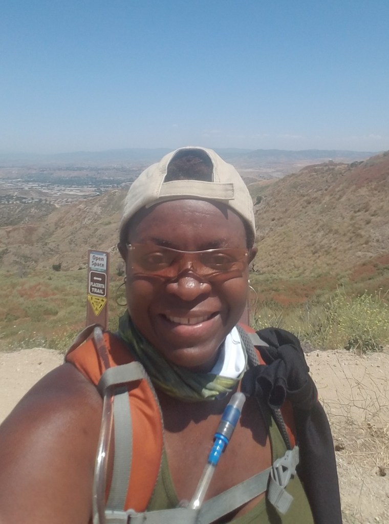
We made it 😁 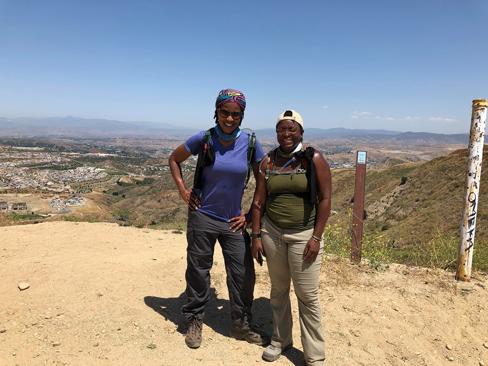
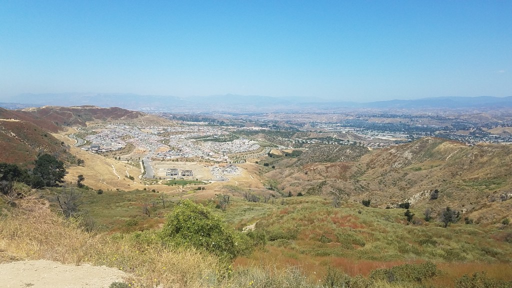
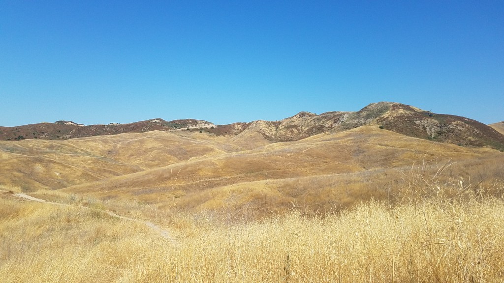
Nice views of Awesome Town 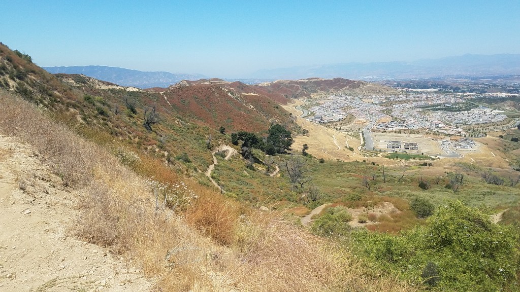
Nature … Gotta Love It! Especially along Awesome Town’s awesome trails!

Hip! Hip! For AwesomeTown!! It really is its nickname!! And, I think we should submit Slither Trail to the City of Santa Clarita! 😉
LikeLike